Products description
The glider map shows the relief of the French Northern Alps, restricted areas, the current airspace and aerodromes with altitude and frequency, landing fields and turning points
It covers the French Alps from Grenoble to the Furka Pass.
Paper: 115 g/m2
Scale: 1:250 000
It covers the French Alps from Grenoble to the Furka Pass.
Paper: 115 g/m2
Scale: 1:250 000
Customers who bought this product also bought the following products:
A product slider follows - navigate to the individual items using the Tab key.
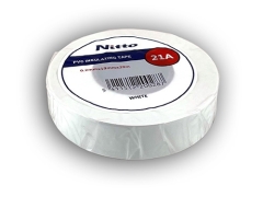
Nitto Tape 25 mm, Roll
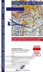
ICAO-Segelflugkarte Frankfurt 2025 paper version
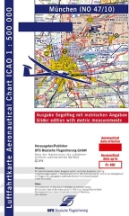
ICAO-Glider map Munich 2025 paper version
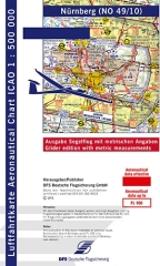
ICAO-Segelflugkarte Nürnberg 2025 paper version
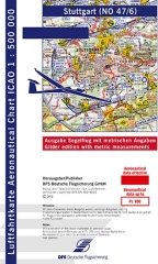
ICAO-Glider map Stuttgart 2025 paper version
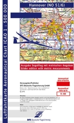
ICAO-Segelflugkarte Hannover 2025 paper version
Last viewed:
A product slider follows - navigate to the individual items using the Tab key.
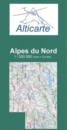
Gliderchart French alps north 2025
