back to previous Page
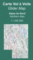
Gliderchart South France 2024
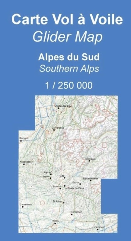
18,00 EUR
7 % VAT incl. excl. Shipping costs
  print
Shipping time: 3-4 Days
Product no.: 48-10100
Manufacturer:Alticarte
Weight: 0.00 Kg.

“Alticarte” map
A map that (finally) shows the landscape, restricted zones and airfields with altitudes and frequencies, outlanding areas indexed in the catalog, turning points.
It covers the French Alps from Fayence to Chambery and from the Italian border to Aubenasson (Diois).
Scale :1:250 000

Customers who bought this product also bought the following products:

ICAO chart Austria 2023
29,90 EUR
7 % VAT incl. excl. Shipping costs
Nitto Tape 19 mm, Roll
from 1,80 EUR
unit price 2,20 EUR
0,11 EUR per m
19 % VAT incl. excl. Shipping costs
anemoi Wind-Indication-System - BasicSet

anemoi Wind-Indication-System - BasicSet

from 995,00 EUR
19 % VAT incl. excl. Shipping costs
ICAO-Glider map Munich 2024
13,00 EUR
7 % VAT incl. excl. Shipping costs

Newsletter subscription: