zurück zur letzten Seite
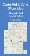
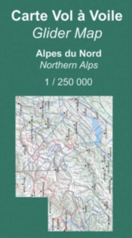
Segelflugkarte franz. Nordalpen 2024
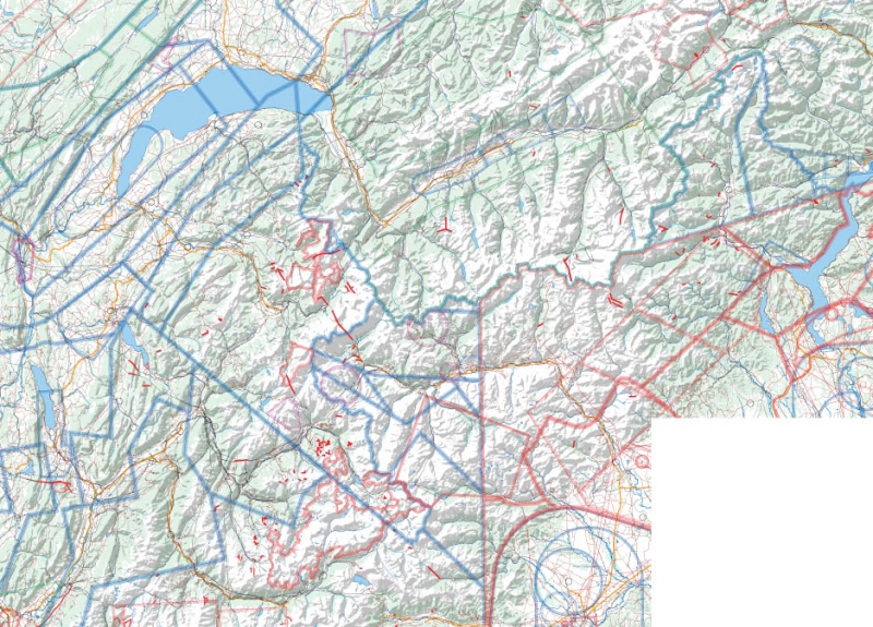

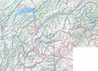
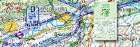
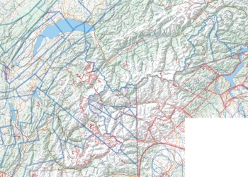
Die Segelflugkarte zeigt das Relief der französischen Nordalpen, Sperrgebiete, den aktuellen Luftraum und Flugplätze mit Höhe und Frequenz, Außenlandefelder und Wendepunkte
Es deckt die französischen Alpen von Grenoble bis zum Furkapass ab.
Papier: 115 g/m2
Maßstab : 1:250 000