Products description
Genuine 3D relief map of the Alps with relief shading and coloured elevation layers derived from high-resolution terrain models.Landscape relief of the Alps with detailed settlement areas, water network, labels for towns and villages, railway network, motorway network with numbering, trunk and express roads, mountain names, elevation data, international airports.
Scale: 1:2,400,000
Dimensions: 390 x 290 x 15 mm
Elevation factor: 5
Scale: 1:2,400,000
Dimensions: 390 x 290 x 15 mm
Elevation factor: 5
Customers who bought this product also bought the following products:
A product slider follows - navigate to the individual items using the Tab key.

Luftfahrt Lexikon - Haftung & Versicherung
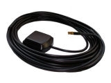
FLARM GPS antenna MCX 0,5m
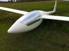
Elastic canopy cover glider
Nitto Tape 19 mm, Roll
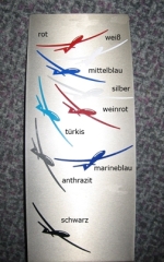
Glider silhouette
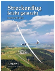
Streckenflug - leicht gemacht
Last viewed:
A product slider follows - navigate to the individual items using the Tab key.
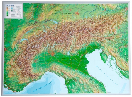
Contour map alps small
