Products description
Maßstab 1:1.000.000
Umfasst die Länder Deutschland, Tschechien, Slowakei, Polen, Ungarn, Österreich
Alle luftfahrtrelevanten Informationen, Location Indicator und Namen der Flugplätze, Frequenzen, Pistenhöhe, Pistenlänge, Anflugstrecken, Meldepunkte, Sektoren, Holdings, Naturschutz- und alle Gefahrengebiete, Segelflug-, Hänge- und Paragleitgebiete.
Die Kartenblätter beinhalten die aktuelle Luftraumstruktur.
Die Karte enthält alle notwendigen Informationen, um AIP Flug: Space Luft SFC bis FL180, kontrollierten Gebieten und Sperrgebiete, Rollbahnen, Radio Mittel usw.
Customers who bought this product also bought the following products:
A product slider follows - navigate to the individual items using the Tab key.
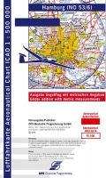
ICAO-Segelflugkarte Hamburg 2022 paper version

Set ICAO-glidercharts D 2023 paper
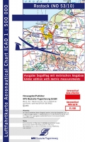
ICAO-Segelflugkarte Rostock 2022 paper version
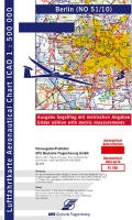
ICAO-Segelflugkarte Berlin 2022 paper version
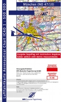
ICAO-Glider map Munich 2024
Top
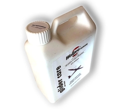
Wellpro premium "glider care" plane polish 1 liter
Last viewed:
A product slider follows - navigate to the individual items using the Tab key.
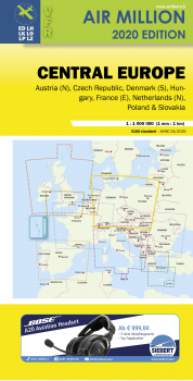
Airmillion Central Europe 1:1.000.000 2024
