Products description
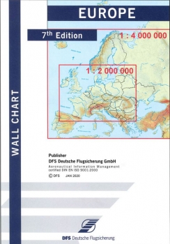
The Europe Wall Chart is an ideal chart for preparing flights to European destinations or alternates and calculating flight times, ranges and radius of action. It shows 2,800 European aerodromes and contains important topographical information.
- Differentiation between IFR and VFR
- Display of aerodromes with IATA codes
- Display of civil-military aerodromes
The Europe Wall Chart shows all of Europe to the scale of 1:4,000,000 on the front page and central Europe to the scale of 1:2,000,000 on the reverse page. Pictures at the side of the chart show small charts of all states with their ICAO codes and charts displaying the Azores, Madeira and the Canary Islands. Distances are displayed in miles, nautical miles and kilometres.
Size: approx. 23 x 33 cm
Only folded available

